
Benchmarking the Future of New York Vineyards
Case Study: Deep Planet & New York Wine & Grape Foundation (NYWGF)
Introduction
In 2024, the New York Wine & Grape Foundation (NYWGF) launched its first comprehensive statewide vineyard survey since 2011. Recognizing the necessity of updated, accurate data to guide the industry, NYWGF partnered with Deep Planet, a global AgriTech company specializing in satellite imagery and machine learning, to revolutionize vineyard data collection and analysis. This case study explores the impact of Deep Planet’s technology on the project and the broader implications for the wine and grape industry.
Challenge
The New York wine and grape industry has undergone significant changes over the past decade, with the number of wineries nearly doubling and shifts in grape varietals due to evolving consumer preferences and climate change. However, the industry lacked up-to-date data on vineyard acreage, grape distribution, and regional trends. Traditional data collection methods, including manual surveys, were time-consuming, prone to inaccuracies, and lacked the scope required for comprehensive analysis.
Deep Planet’s Solution
Deep Planet applied cutting-edge remote sensing and machine learning techniques to map and analyze New York’s vineyards. Using high-resolution satellite imagery from sources like Sentinel-2 and Google Earth, Deep Planet developed custom algorithms to accurately detect vineyard acreage and identify grape varietals across different regions. Their methodology included:
Crop Segmentation with AI: Machine learning models were trained to distinguish vineyard blocks from other agricultural and natural landscapes.
Phenological Analysis: Growing Degree Days (GDD) and crop calendars were integrated to improve accuracy in identifying specific grape varietals.
Data Validation & Ground Truthing: A combination of satellite data, aerial imagery, and field validation was used to refine and verify results.
Automated Data Processing: AI-driven tools processed vast amounts of data, reducing manual input and increasing precision.
Key Outcomes
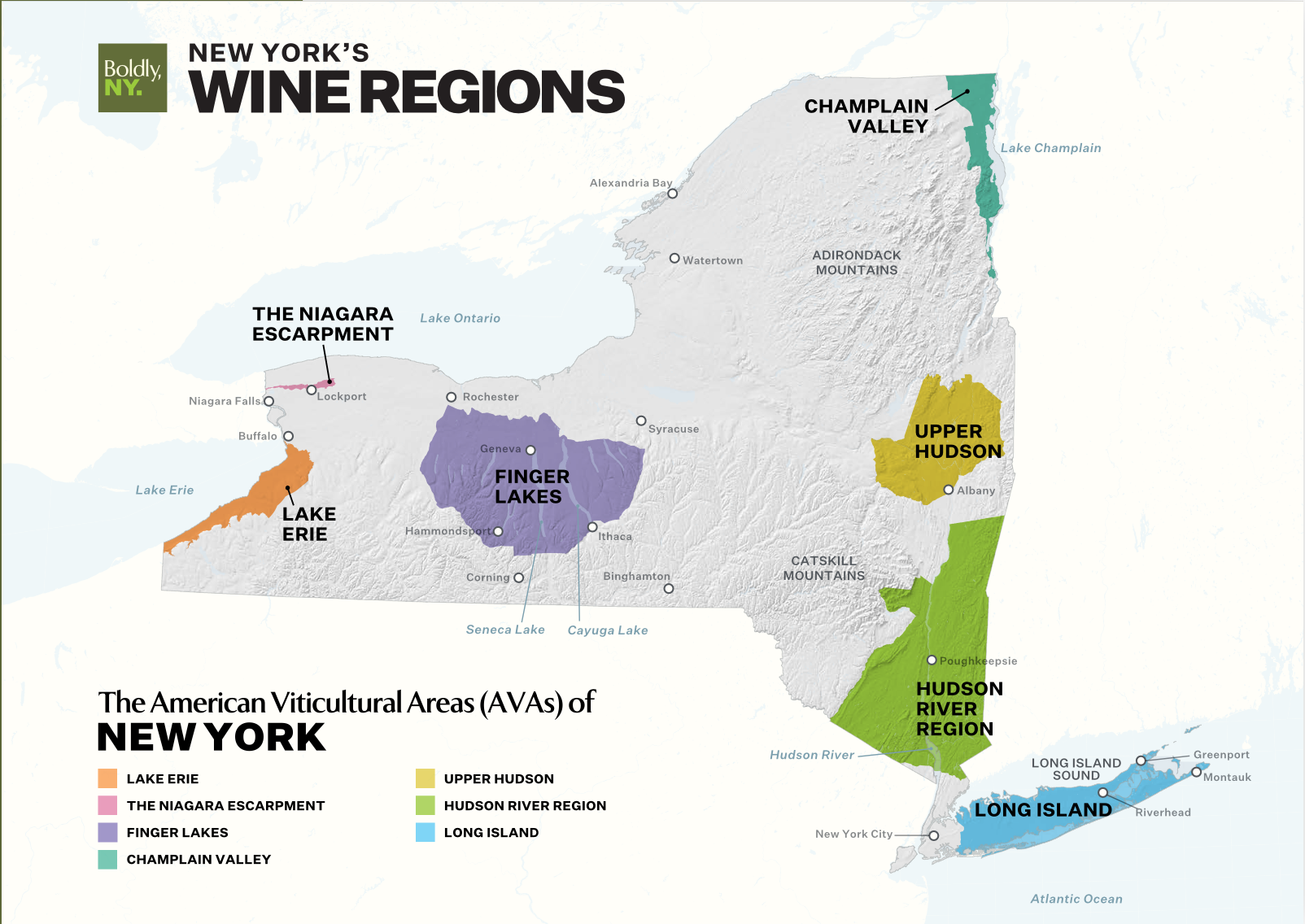
Accurate Vineyard Mapping: Deep Planet identified 29,586 acres of vineyards in New York State, providing the first verified statewide acreage report in over a decade.
Enhanced Decision-Making for Growers: The data will enable growers to locate, claim, and validate their vineyard acreage through an online portal in 2025.
Climate Resilience & Sustainability: The technology allows for ongoing monitoring of climate impact on vineyards, aiding in sustainable viticulture practices.
Industry-Wide Collaboration: The integration of Deep Planet’s insights with other vineyard surveys (e.g., USDA NASS and Long Island Wine Country) fosters data standardization and industry growth.
Looking Ahead
Deep Planet’s partnership with NYWGF marks a transformative step in data-driven viticulture. The second phase of the project in 2025 will expand survey participation, enhance accuracy through grower input, and further integrate AI tools for real-time vineyard insights. This collaboration sets a precedent for the future of vineyard data collection worldwide, proving that technology can bridge gaps in agricultural research and industry development.
Conclusion
By leveraging AI and satellite imagery, Deep Planet has provided an innovative solution to a long-standing challenge in the New York wine and grape industry. Their work has not only improved data collection but has also paved the way for a more sustainable, data-driven future for viticulture. As the industry continues to evolve, Deep Planet’s technology will remain instrumental in shaping its trajectory.
Unlock the Future of Regional Crop Monitoring with AI-Driven Insights!
Discover how Deep Planet is transforming regional data collection with cutting-edge satellite imagery and machine learning.
Stay ahead of industry trends, optimize your vineyard management, and embrace sustainable practices with real-time analytics.